Emergency Navigation
Road Markerboards
Those "pesky" little boards every 200m on your journey could be lifesavers in an emergency.
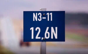
Those "pesky" little boards every 200m on your journey could be lifesavers in an emergency.
The time has come. The year is over. Sunny beaches and blue water here we come !!
We have anywhere between 600km's and 1400 km's to reach your destination - depending where you are going. If all goes well you will drive there and back without any incidents.
What happens if you are involved in an incident (or are witness to one) and you need to get help to an exact location fast?
Every 200m's on our national roads, there these pesky little blue boards that could be a life saver if used properly.
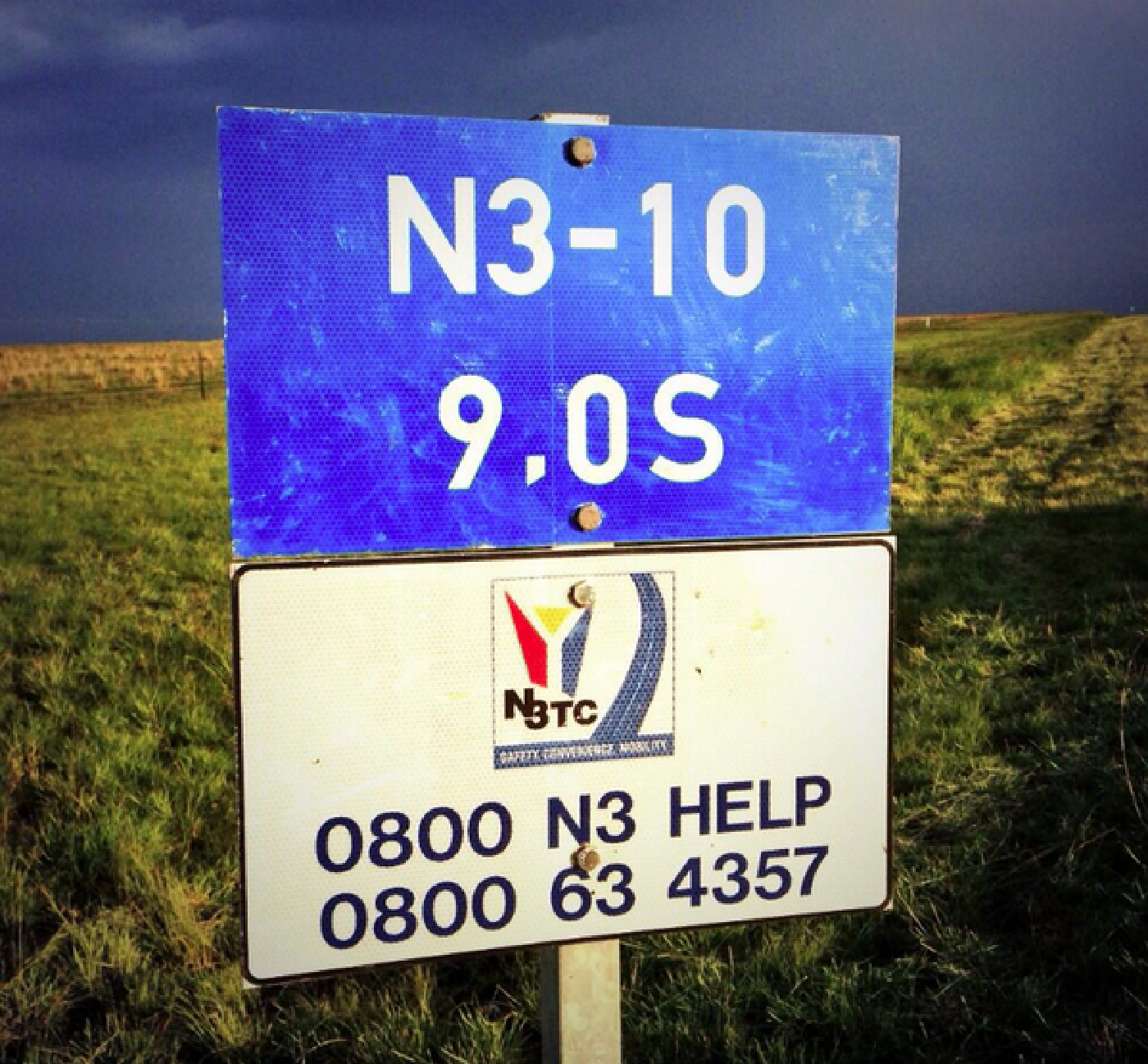
Imagine if you are a control centre operator and you receive a phone call for a medical emergency. The quickest and easiest way to get someone to you is for that person to know exactly where you are.
"Somewhere between Colesberg and Bloemfontein - about 60 kilos from Bloem"
This vague description just won't cut it in an emergency situation.
Look for your nearest marker board. It has vital location information on it.
Read it to the Call Centre operator from top to bottom slowly and in a clear voice.
As soon as the person has this information, they will dispatch someone immediately.
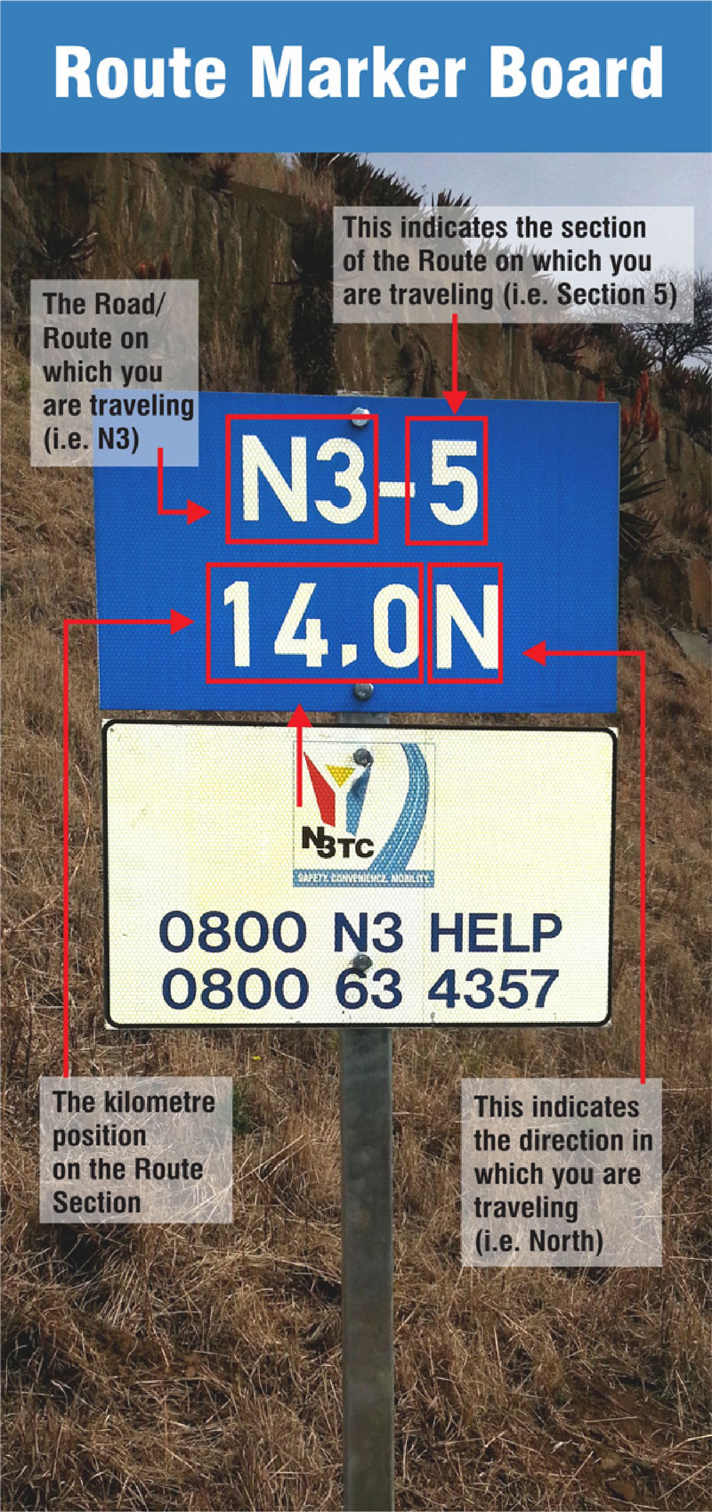
In an emergency, every second counts. Knowing how to read markerboards can mean the difference between life and death.